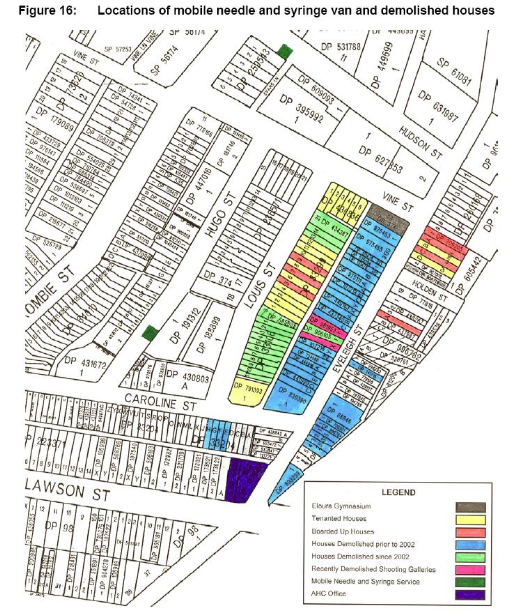
Demolished houses on Block and Needle Van Location
This map shows the location of houses demolished on The Block to early 2004. It also shows the locations used by the mobile needle van. This map is Figure 16 "Locations of mobile needle and syringe van and demolished houses" from the NSW Government Submission for the Inquiry into Redfern and Waterloo 30 April 2004. File size is 179 Kb.
 —
JPEG image,
178 kB (182776 bytes)
—
JPEG image,
178 kB (182776 bytes)
