Bus Routes
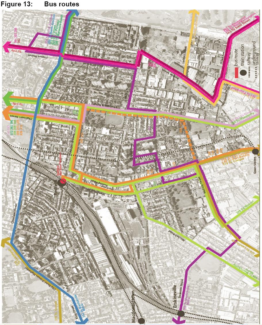
This maps show how the RED Area is served by bus routes. Bus routes tend to serve through trafic rather than the transport needs of those that live in the area. The RED consultation identified the need for both a local figure 8 bus route to enable local people to easily access Railway Stations as well as a wider service to allow the community to access hospital, shopping and open space. This map is Figure 13 "Bus toutes" from the NSW Government Submission for the Inquiry into Redfern and Waterloo 30 April 2004. File size is 287 Kb.
 —
JPEG image,
286 kB (293603 bytes)
—
JPEG image,
286 kB (293603 bytes)
