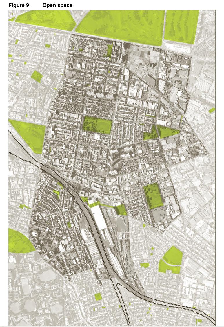
Open Space in RED Area
This photo map shows open space within the RED Strategy area. This map is Figure 9 "Open Space" from the NSW Government Submission for the Inquiry into Redfern and Waterloo 30 April 2004. File size is 204 Kb.
 —
JPEG image,
204 kB (209866 bytes)
—
JPEG image,
204 kB (209866 bytes)
