Proximity to Open Space outside Area
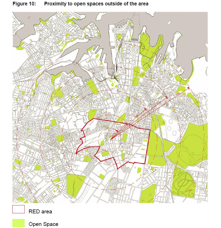
This map shows how the REDW area sits in proximity to surrounding open space. The RED Strategy consultation identified that while there was open space near the RED area there were problems for the local community accessing these areas. This map is Figure 10 "Proximity to open spaces outside ther area" from the NSW Government Submission for the Inquiry into Redfern and Waterloo 30 April 2004. File size is 174 Kb.
 —
JPEG image,
174 kB (178279 bytes)
—
JPEG image,
174 kB (178279 bytes)
