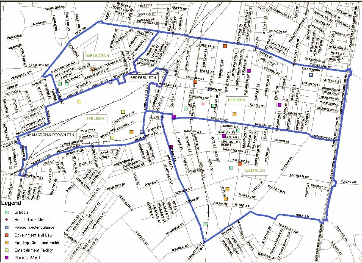
Facilities in Redfern Waterloo
This map shows the major streets and selected community facilities in the RWA Area. This map is Figure 2 "Facilities in Redfern and Waterloo" from the NSW Government Submission for the Inquiry into Redfern and Waterloo 30 April 2004. File size is 265 Kb.
 —
JPEG image,
264 kB (271252 bytes)
—
JPEG image,
264 kB (271252 bytes)
