RWA Photo Suburb Map
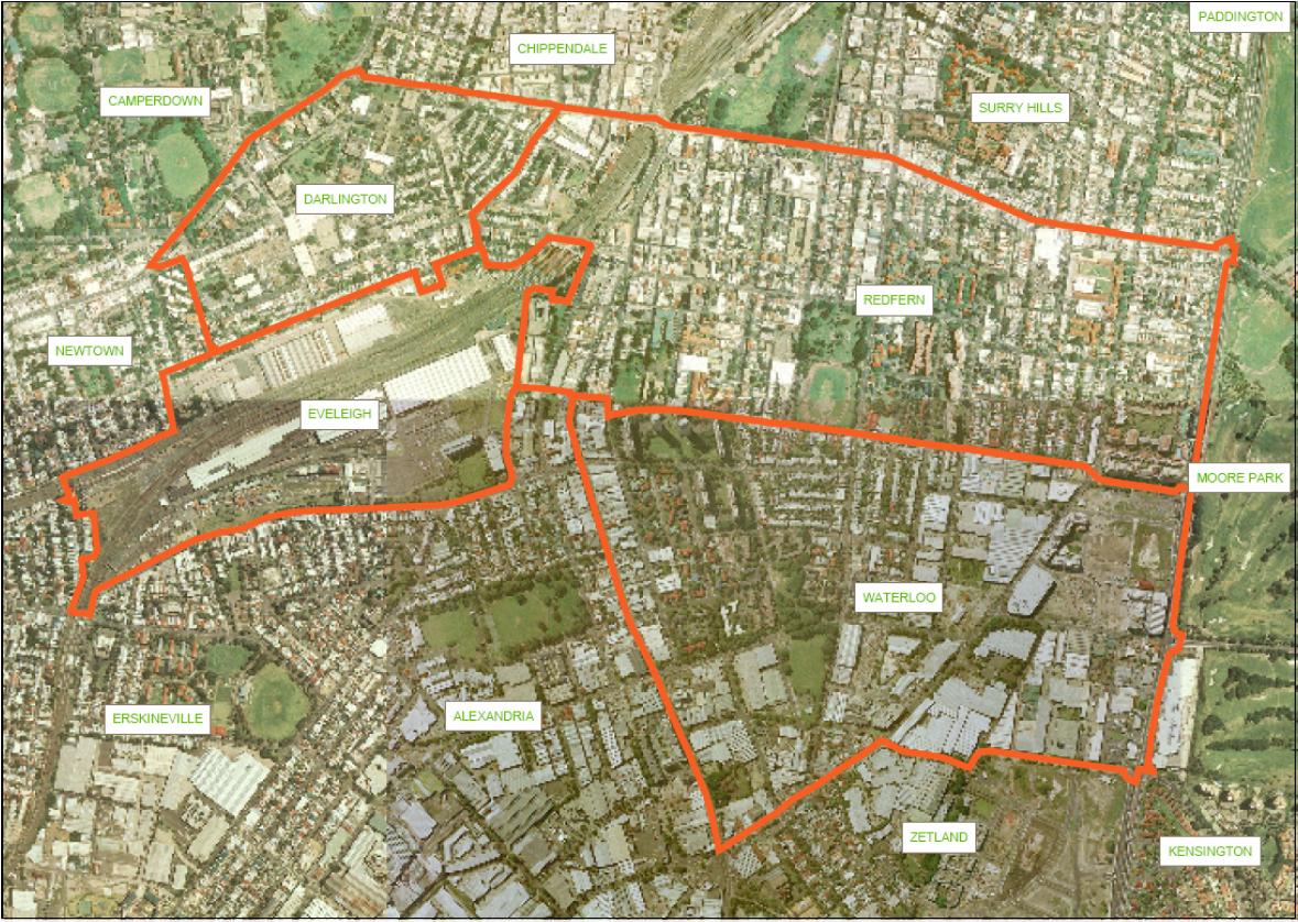
This map shows a photo of the suburbs that make up the RWA with the suburb boundaries marked. This map is Figure 1 "Area covered in surrounding linked communities" from the NSW Government Submission for the Inquiry into Redfern and Waterloo 30 April 2004. File size is 264 Kb.
 —
JPEG image,
263 kB (270214 bytes)
—
JPEG image,
263 kB (270214 bytes)
