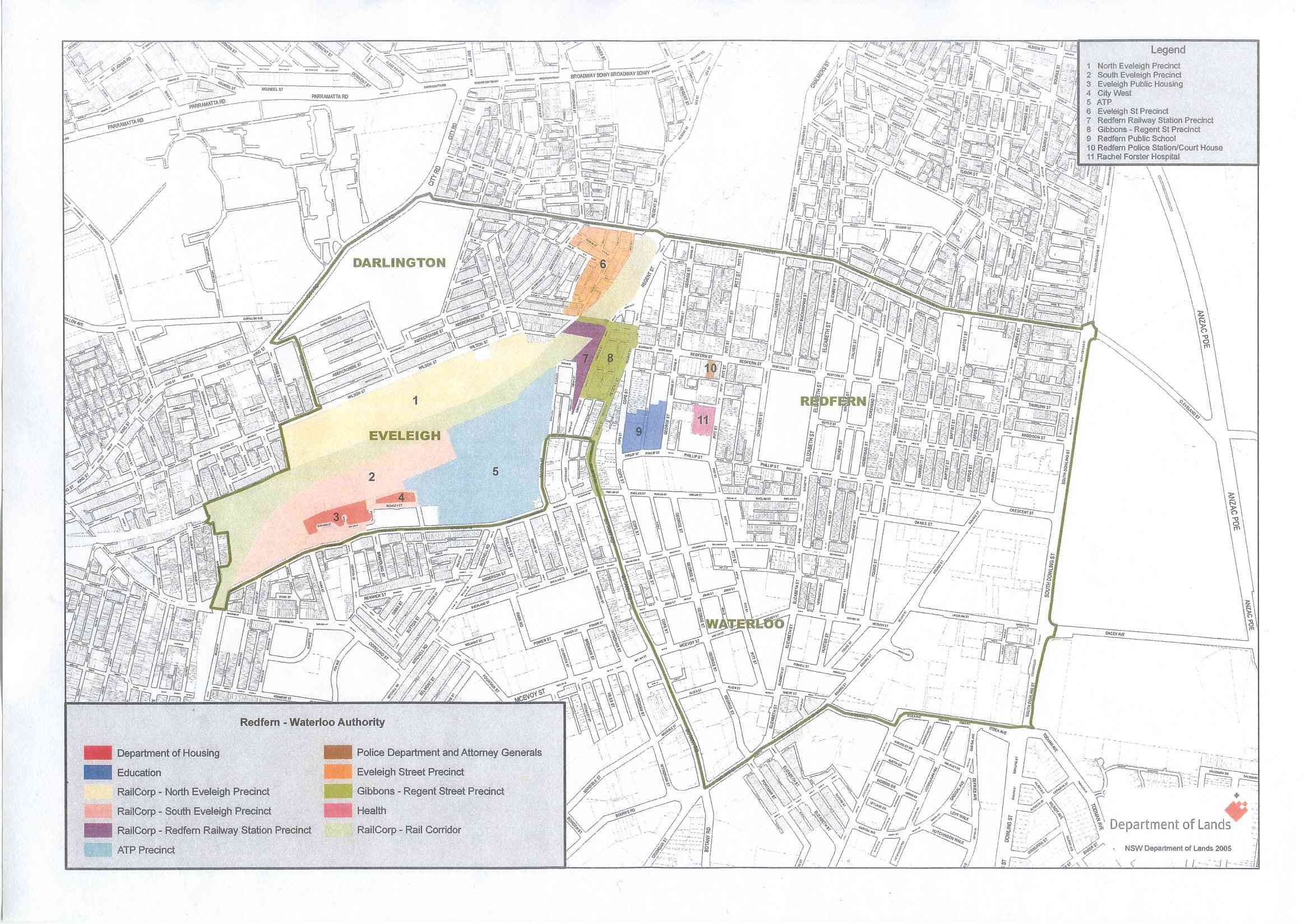
RWA State Significant Areas
This map shows the areas that the RWA is using to refer to the various parts of Redfern Waterloo that were declared state significant and under their control. This map was first shown to the community at the Minister's meeting with public tenants. The RWA website contains a 5 MB version of this map - This File is 336 Kb.
 —
JPEG image,
336 kB (344818 bytes)
—
JPEG image,
336 kB (344818 bytes)
