Central to Eveleigh Corridor Indicative Development July 2014
The following stills have been taken from the video shown on the SMH's website for the article Sydney renewal project at Eveleigh likely to be scaled back they show what was modeled for indicative development at various parts of the site.
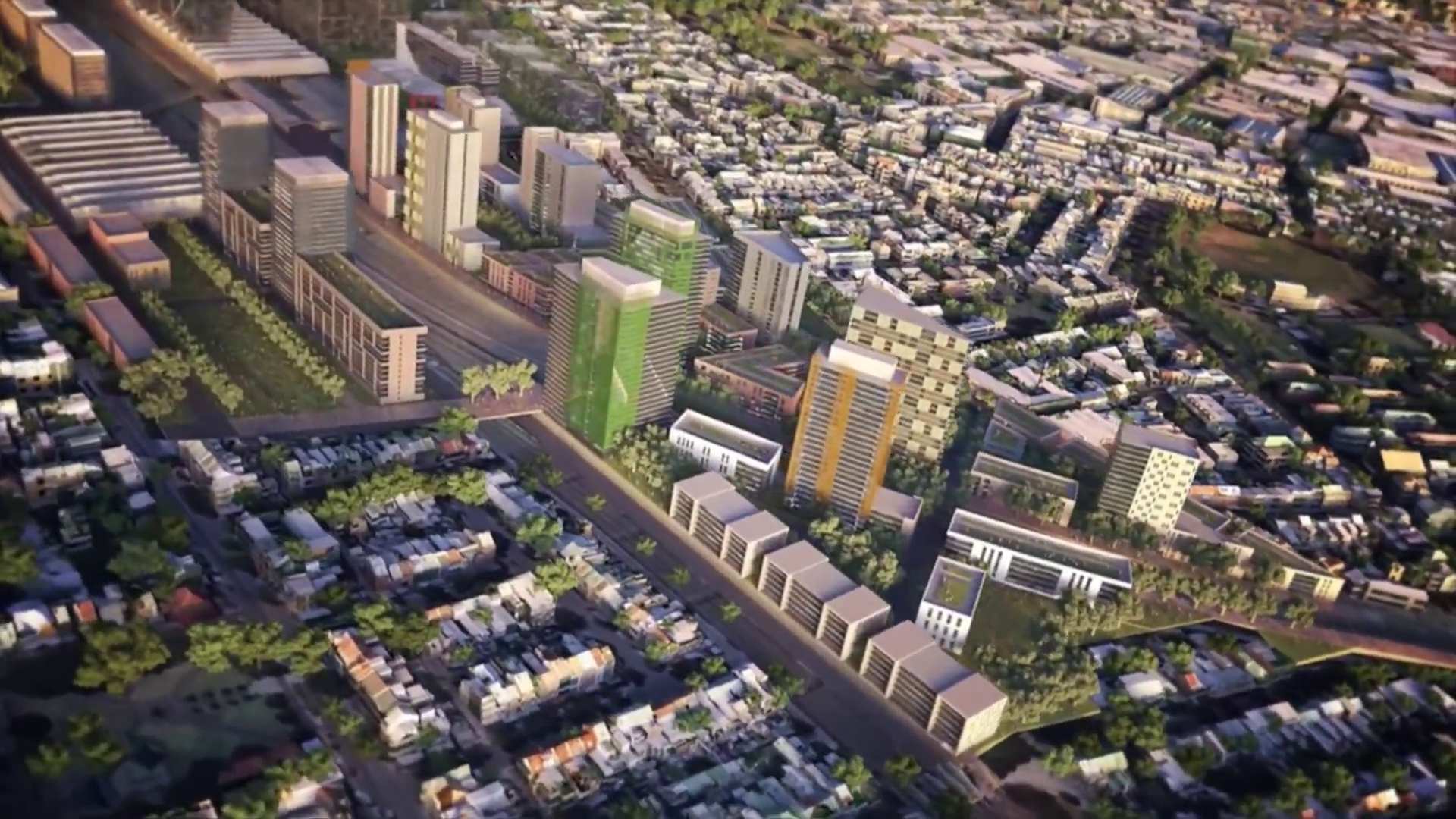
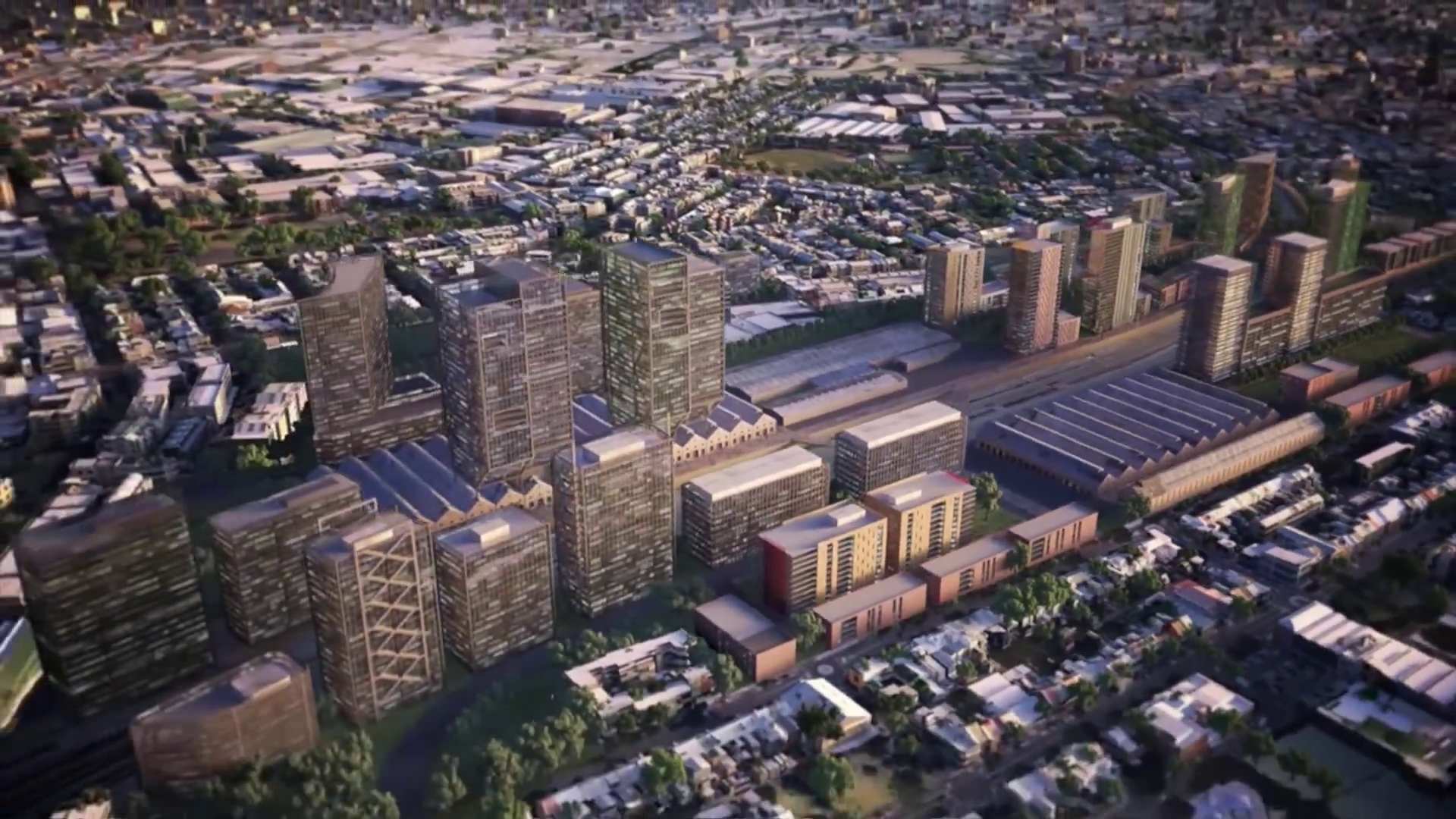
Apart from the increase in densities above those proposed by the RWA, especially around Redfern Station, there are a number of other changes modeled including an entrance to North Eveligh off Ivy Street rather than Shepherd. While there is no highrise out of the Locomotive Workshops in this versioon (as there was in February 2014), a number of heritage buildings are missing including on North Eveleigh: The Clothing Store, The Paint Shop, The Cheif Mechanical Engineers Building, The Scientific Services and Telcomunications Equipment Centre. On South Eveleigh The New Locomotice Workshop and the Works Managers Office seems to have also disapeared. The Large Erecting Shop remains in place in the fly through.
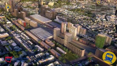
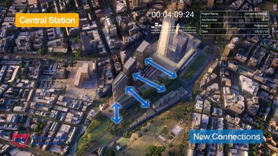
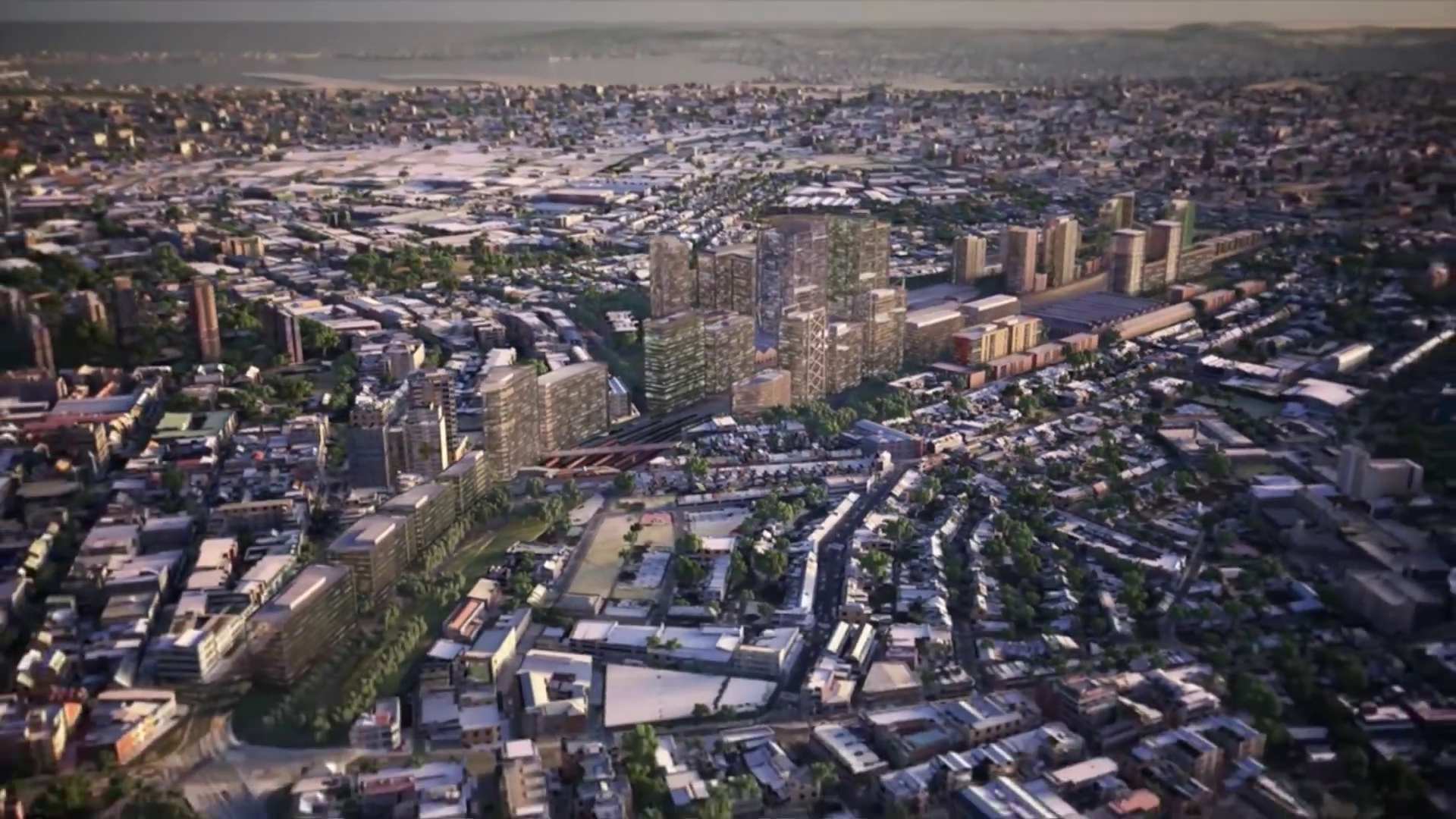
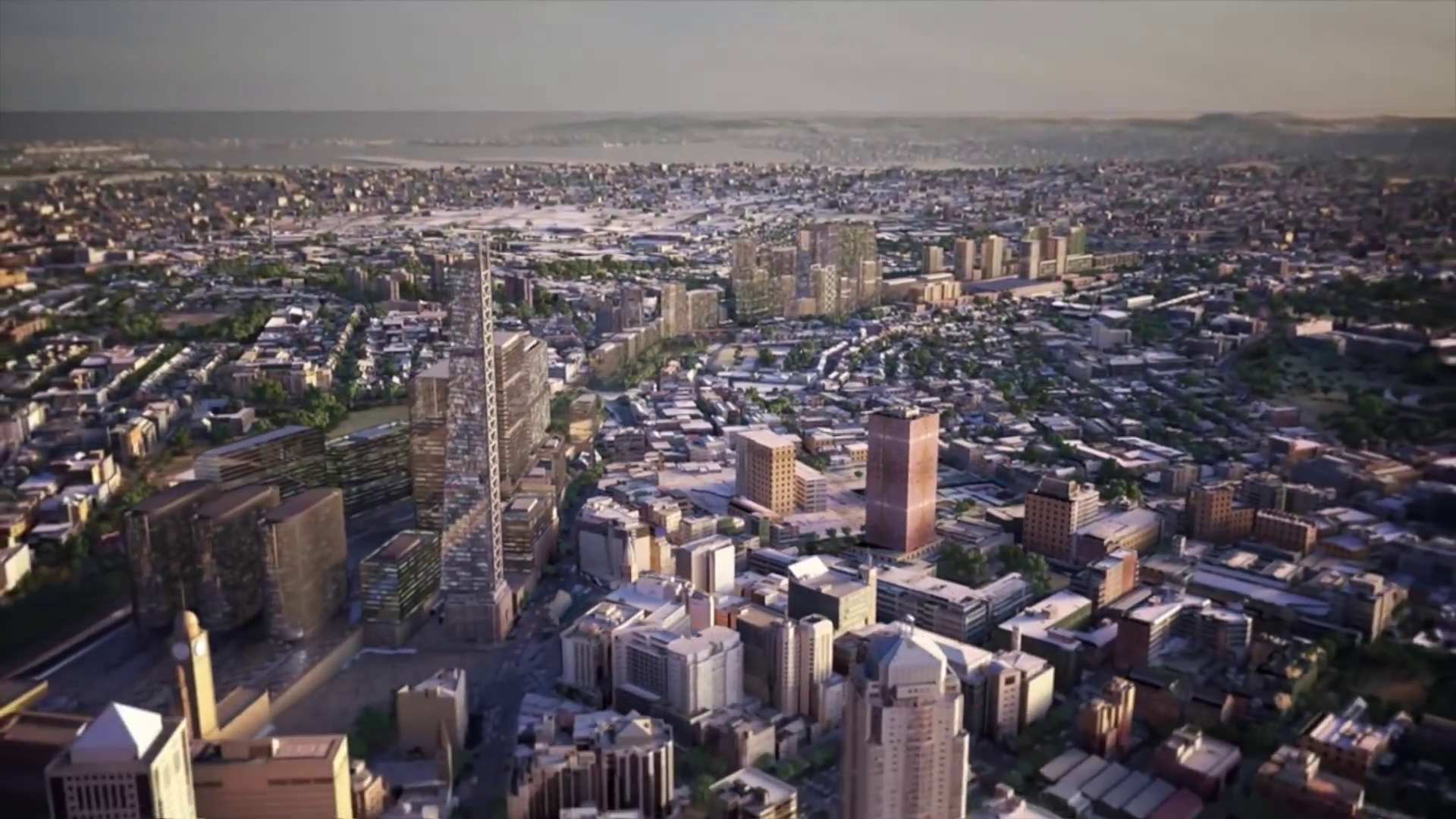
On the Central end of the site heights in the fly through are high and appear to be between 50 - 90 storeys high (if you compare them to the UTS which is about 120 metres).
We have included both the current and indicative development shots so it is easy to compare what changes on a site. The July fly through broke the site up into defined precincts which we have also shown.
Use the View link to enlarge!
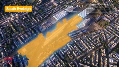
South Eveleigh - Area covered - July 2014 (below)
Full-size image:
216.7 kB
|
 View
View
 Download
 View
View
 Download
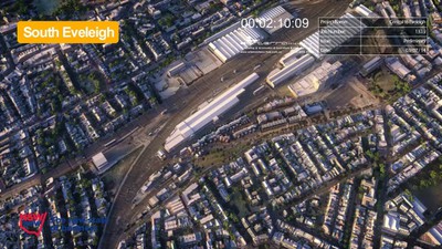
South Eveleigh - Before Indicative Development - July 2014 (below)
Full-size image:
286.6 kB
|
View
Download
 View
View
 Download
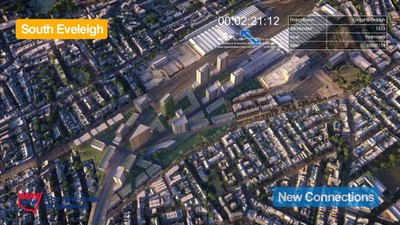
South Eveleigh - After Indicative Development - July 2014 (below)
Full-size image:
290.3 kB
|
View
Download
 View
View
 Download
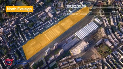
North Eveleigh - Area covered - July 2014 (below)
Full-size image:
220.9 kB
|
View
Download
 View
View
 Download
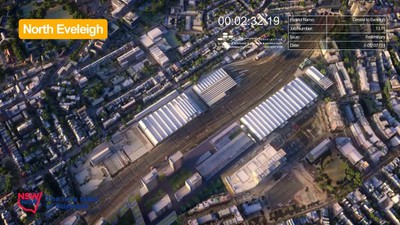
North Eveleigh - Before Indicative Development - July 2014 (below)
Full-size image:
248.4 kB
|
View
Download
 View
View
 Download
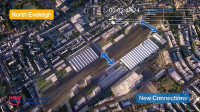
North Eveleigh - After Indicative Development - July 2014 (below)
Full-size image:
278.2 kB
|
View
Download
 View
View
 Download
North Eveleigh - After Indicative Development - View 2 - July 2014 (below)
Full-size image:
207.8 kB
|
View
Download
 View
View
 Download
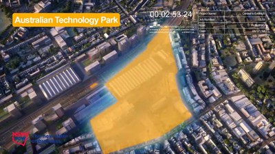
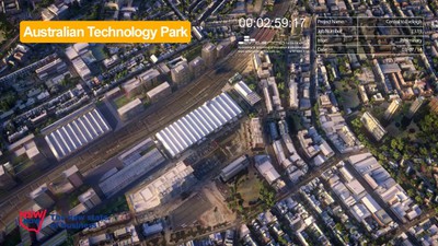
Australian Technology Park - Area covered - July 2014 (below)
Full-size image:
210.5 kB
|
View
Download
 View
View
 Download
Australian Technology Park - Before Indicative Development - July 2014 (below)
Full-size image:
278.5 kB
|
View
Download
 View
View
 Download
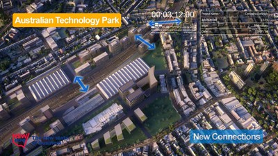
Australian Technology Park - After Indicative Development - July 2014 (below)
Full-size image:
278.5 kB
|
View
Download
 View
View
 Download
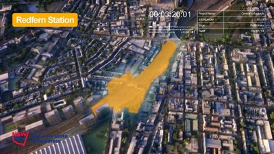
Redfern Station - Area covered - July 2014 (below)
Full-size image:
220.9 kB
|
View
Download
 View
View
 Download
Redfern Station - Before Indicative Development - July 2014 (below)
Full-size image:
281.6 kB
|
View
Download
 View
View
 Download

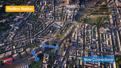
Redfern Station - After Indicative Development - July 2014 (below)
Full-size image:
284.7 kB
|
View
Download
 View
View
 Download
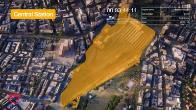
Central Station and Chippendale - Area covered - July 2014 (below)
Full-size image:
202.2 kB
|
View
Download
 View
View
 Download
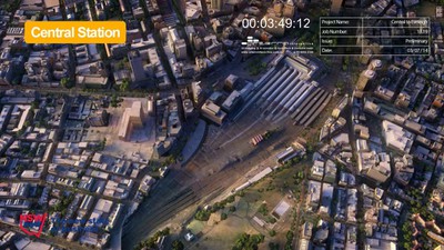
Central Station and Chippendale - Before Indicative Development - July 2014 (below)
Full-size image:
262.8 kB
|
View
Download
 View
View
 Download
Central Station and Chippendale - After Indicative Development - July 2014 (below)
Full-size image:
273.7 kB
|
View
Download
 View
View
 Download
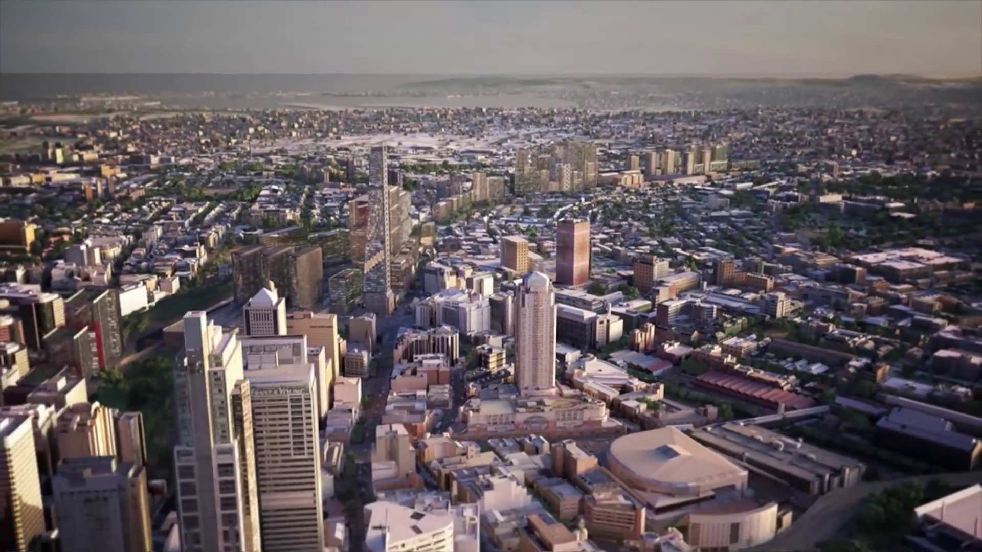
Central Station and Chippendale - After Indicative Development - View 2 - July 2014
Full-size image:
181.2 kB
|
View
Download
 View
View
 Download
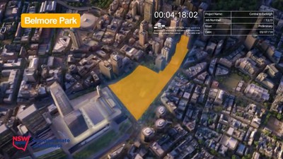
Belmore Park - Area covered - July 2014 (below)
Full-size image:
194.0 kB
|
View
Download
 View
View
 Download
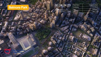
Belmore Park - Before Indicative Development - July 2014 (below)
Full-size image:
243.2 kB
|
View
Download
 View
View
 Download
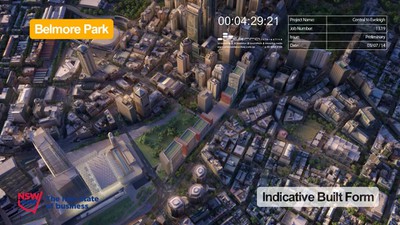
Belmore Park - After Indicative Development - July 2014 (below)
Full-size image:
250.2 kB
|
View
Download
 View
View
 Download
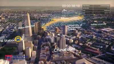
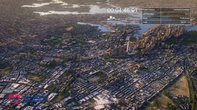
Central to Eveleigh Indicative Development in City Context - July 2014 (below)
Full-size image:
254.4 kB
|
View
Download
 View
View
 Download
The above stills have been taken by REDWatch from a Central to Eveleigh flythrough on the Sydney Morning Herald's website article Sydney renewal project at Eveleigh likely to be scaled back
